
Diamond Road - Route & Daily Itinerary
Diamantina → Ouro Preto
Legend — 🔺 Difficulty (1–5)
Expedition Timeline
21 Nov — Belo Horizonte
Arrival day & bike assembly
22 Nov — Diamantina
Group transfer & expedition briefing
24 Nov – 5 Dec — Caminho dos Diamantes
11 riding stages & 1 rest day
6 Dec — Ouro Preto
Final evening in Ouro Preto
7 Dec
Independent departures
The expedition includes the arrival night in Belo Horizonte and the final night in Ouro Preto. Departure transfers after the expedition are not included.
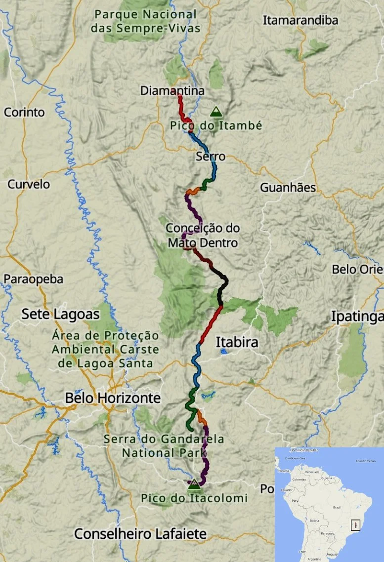
Expedition Overview - Diamond Road 2026
Route: Diamantina → Ouro Preto
450 km total distance
10,900 m climbing
11 riding stages
16 days total journey
Group: 4–7 riders
Surface: gravel, dirt, historic stone
Route:
Diamantina → Milho Verde → Serro → Tabuleiro → Morro do Pilar → Ipoema → Cocais → Caraça → Catas Altas → Ouro Preto. The route follows historic corridors of the Estrada Real through the highlands of Minas Gerais.
Stage 1 · Diamantina → Milho Verde
40 km | 895 m | 🔺🔺🔺 | Mixed
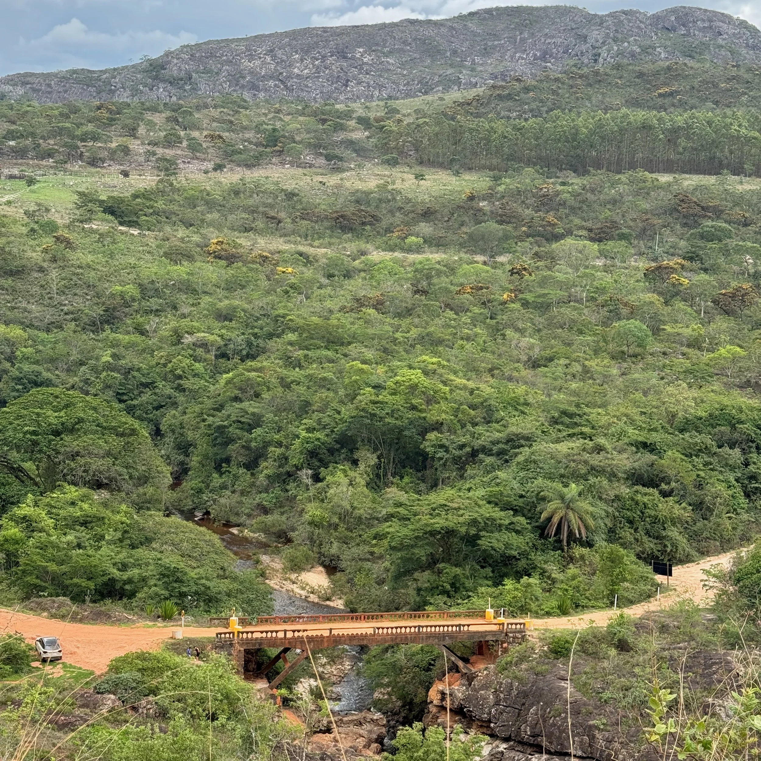
An atmospheric opening stage on historic cobblestones and quiet backroads that introduces the character of the Caminho dos Diamantes. The road climbs and descends through the Espinhaço highlands—an ancient mountain chain running north–south through central Brazil and recognized as a global biodiversity hotspot—with long open views before crossing the Jequitinhonha River canyon and beginning the first of several unpaved climbs. Arrival in Milho Verde introduces the “sossego” (quietude) factor—one of the smallest communities on the route, with a distinct stuck-in-time atmosphere.
Arriving at a typical pousada along the Diamond Road
Stage 2 · Milho Verde → Itapanhoacanga
56 km | 1,300 m | 🔺🔺🔺🔺 | Gravel/Dirt
Leaving the quiet lanes of Milho Verde, Stage 2 is a bigger day of sustained climbing and rolling dirt roads across the Espinhaço highlands. The route strings together steep pitches, fast descents, and remote countryside riding, with wide views giving way to pockets of forest and small rural settlements. The finish in Itapanhoacanga—whose Indigenous Tupi-Guarani name roughly translates to “stone slab river”—carries deep historical weight, once one of the richest gold-mining sites in the region and a vital stop along the Estrada Real—the network of colonial roads that once carried gold and diamonds from the interior to the coast.
Stage 3 · Itapanhoacanga → Tapera (Santo Antônio do Norte)
14.5 km | 612 m | 🔺🔺🔺 | Mixed
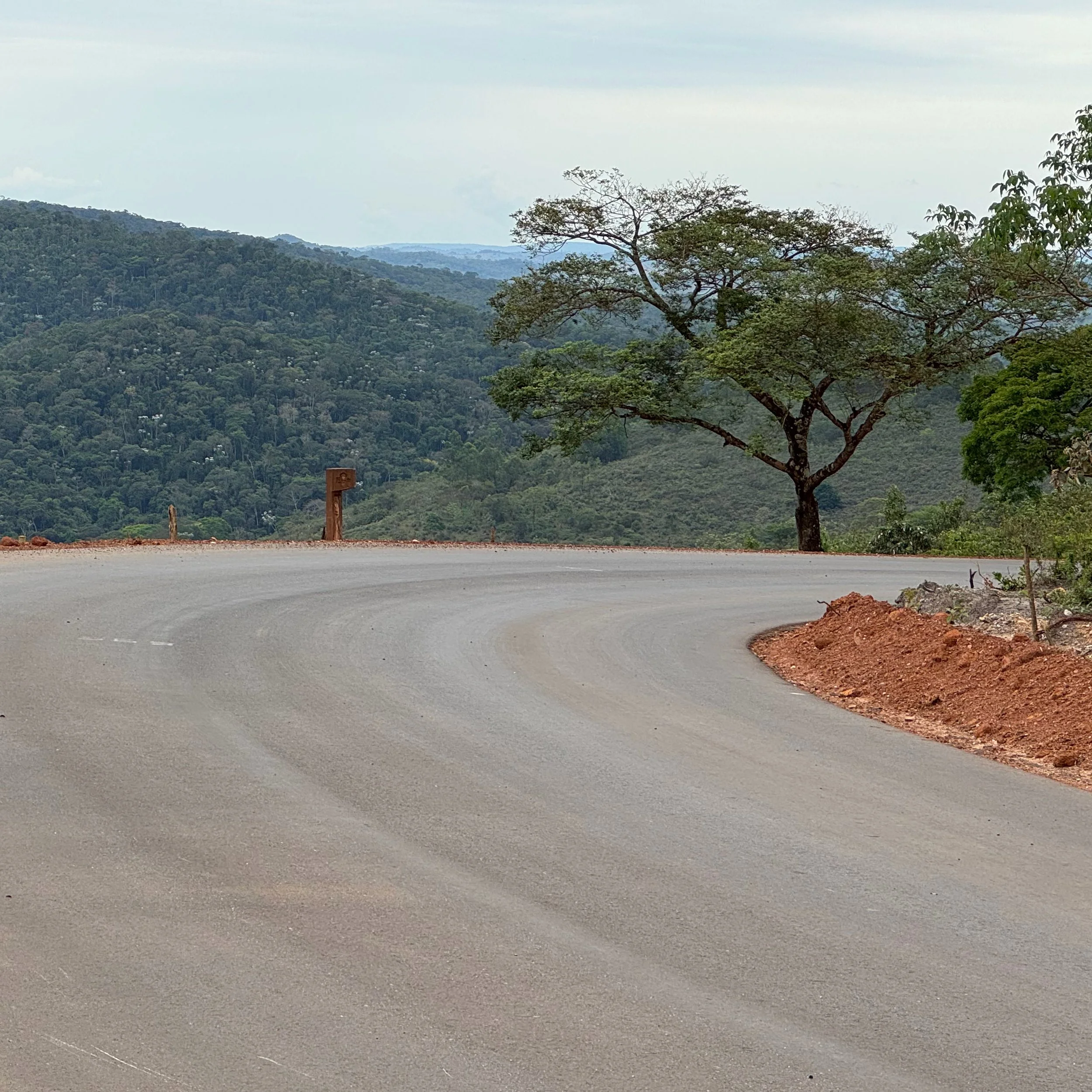
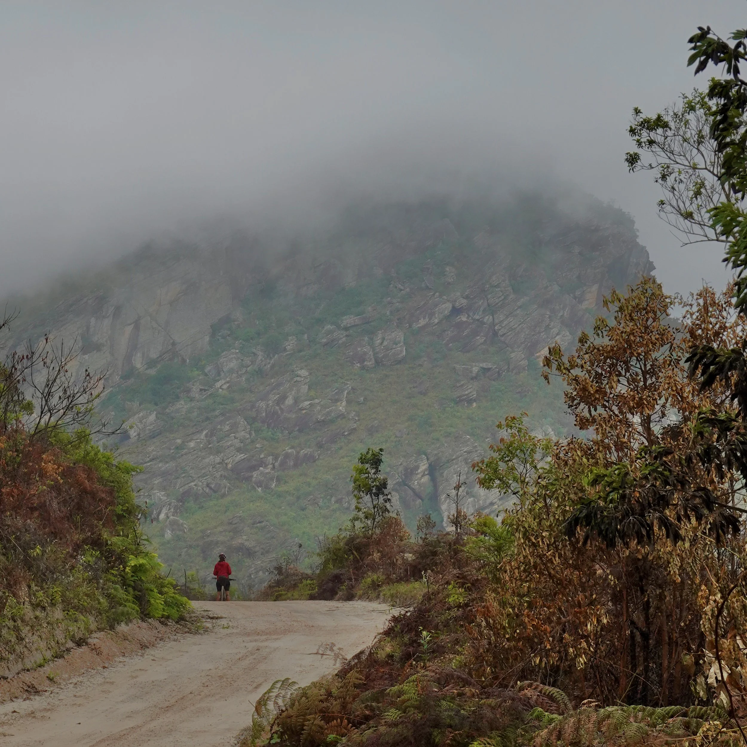
A short but intense stage defined by sustained double-digit gradients and powerful climbing. The route rises quickly out of Itapanhoacanga on steep paved and dirt pitches before pushing into cloud-prone highland terrain, where mist and forest create a dramatic atmosphere. A sharp descent through dense woodland delivers riders into Tapera, a small and welcoming village officially known as Santo Antônio do Norte.
Stage 4 · Tapera → Cachoeira do Tabuleiro
48.8 km | 923 m | 🔺🔺🔺 | Mixed
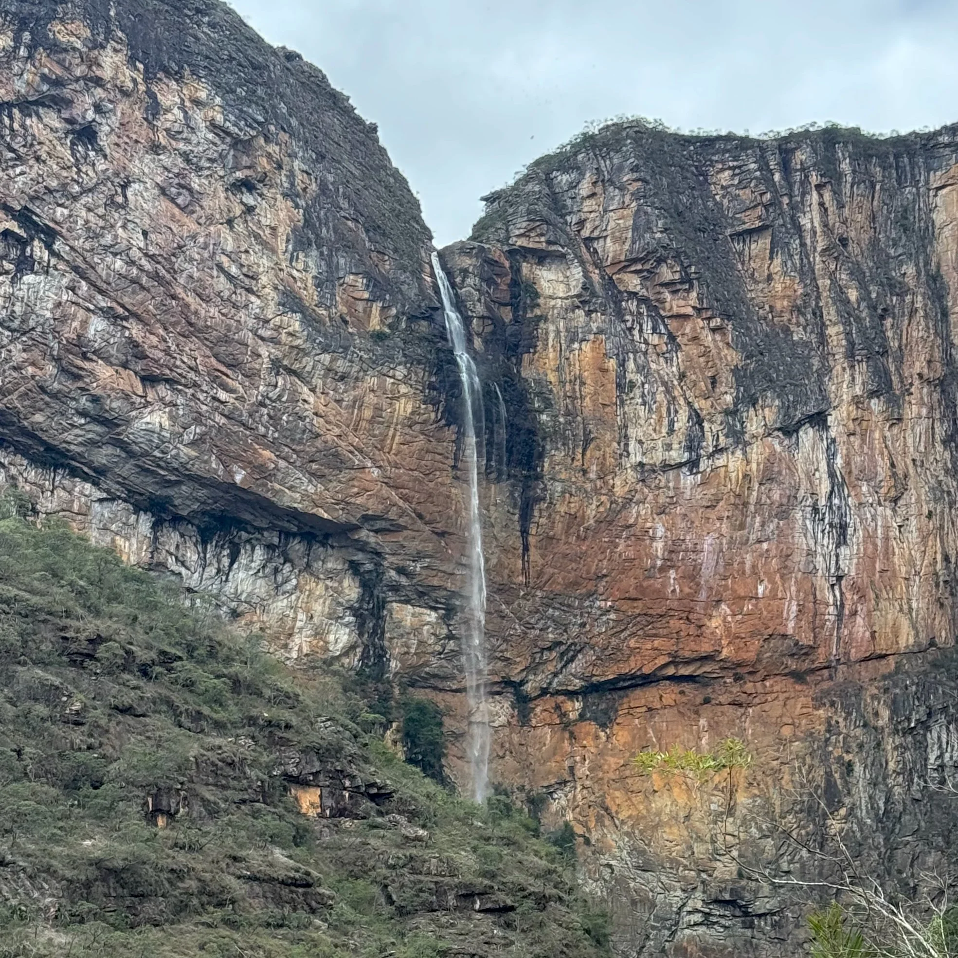
A transitional stage moving from quiet rural roads into increasingly mountainous terrain. The route rolls across a mix of pavement, dirt, and gravel before climbing toward the Tabuleiro region, gateway to one of Brazil’s highest and most impressive waterfalls. Long, steady efforts replace the sharp ramps of earlier days, and the itinerary includes a planned rest day in Tabuleiro to explore the surrounding waterfalls and trails. Nearby lies Cachoeira do Tabuleiro, one of the highest waterfalls in Brazil.
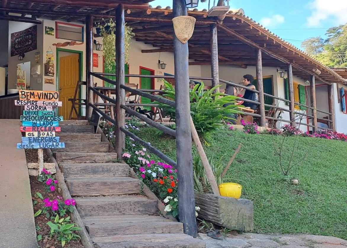
Pousada do Moinho — a place to arrive, rest, and share a meal
Stage 5 · Tabuleiro → Morro do Pilar
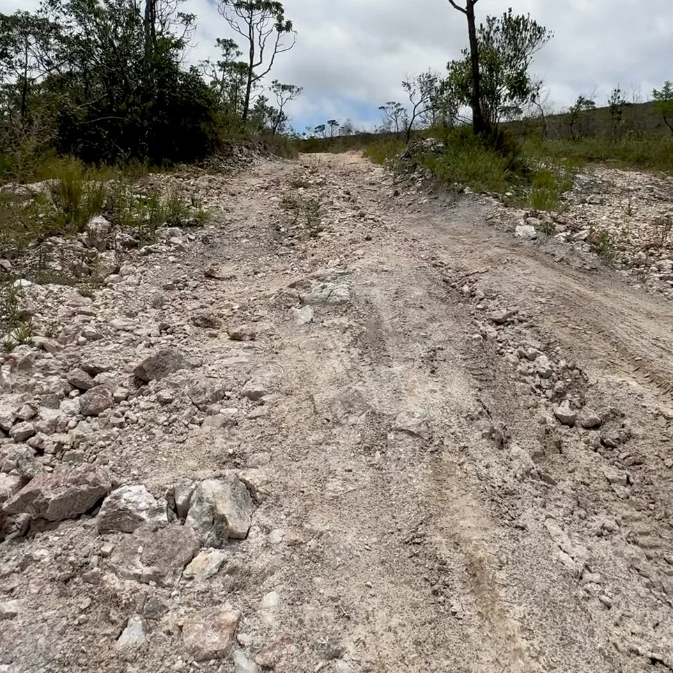
38.2 km | 1,207 m | 🔺🔺🔺🔺🔺 | Rough Sections
One of the most memorable stages of the Caminho dos Diamantes. The day begins with sustained gravel climbs leaving Tabuleiro as the route rises quickly onto the high Espinhaço plateau. In a few short sections riders may choose to walk steeper pitches, though most of the climbing is rideable. From there the landscape opens into windswept cerrado—Brazil’s vast tropical savanna biome and a designated UNESCO Biosphere Reserve—marked by wide horizons and long ridgelines. The stage continues across exposed highlands with rolling terrain before a series of descents and a final climb into the hillside town of Morro do Pilar.
Stage 6 · Morro do Pilar → Itambé do Mato Dentro
35.9 km | 1,035 m | 🔺🔺🔺🔺 | Gravel/Dirt
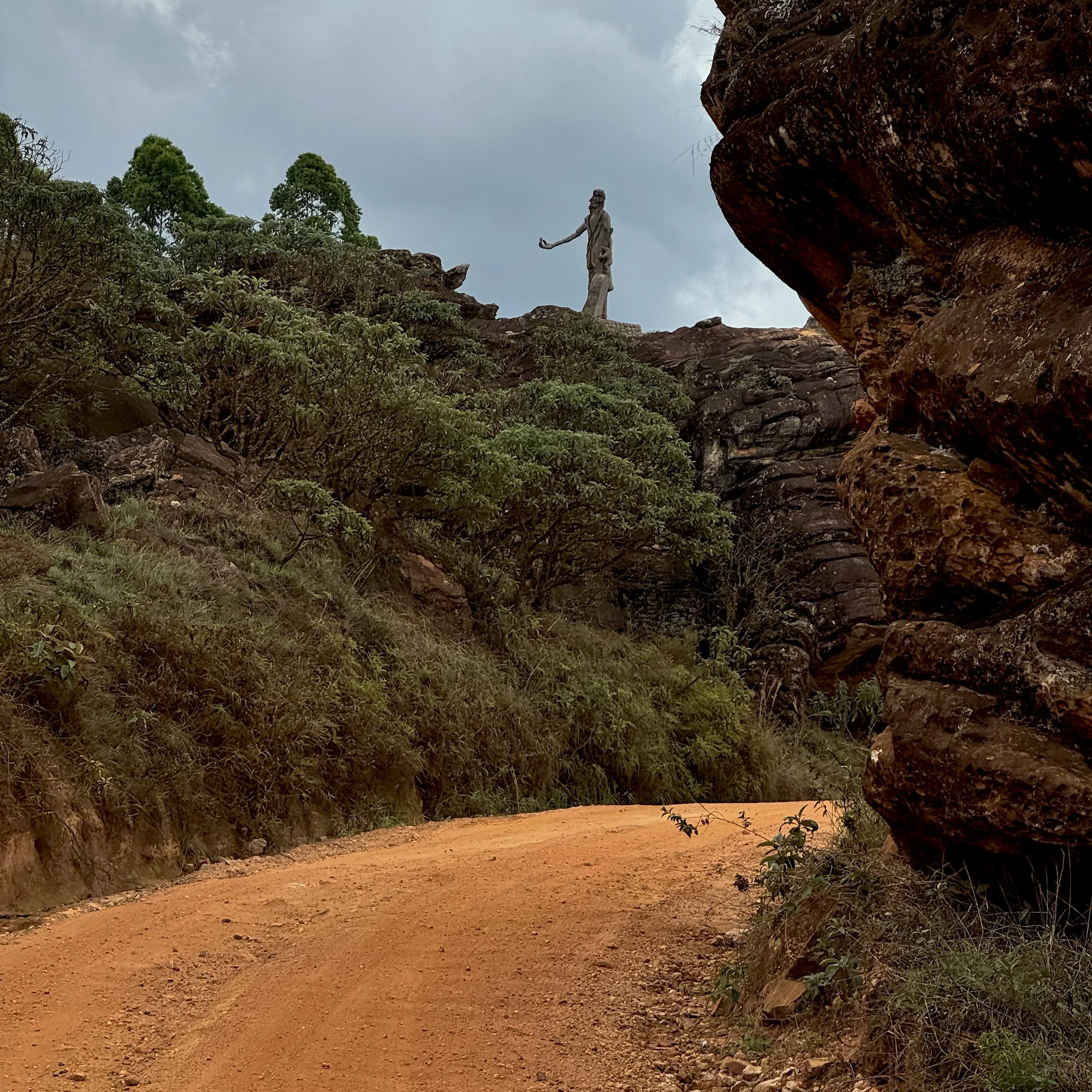
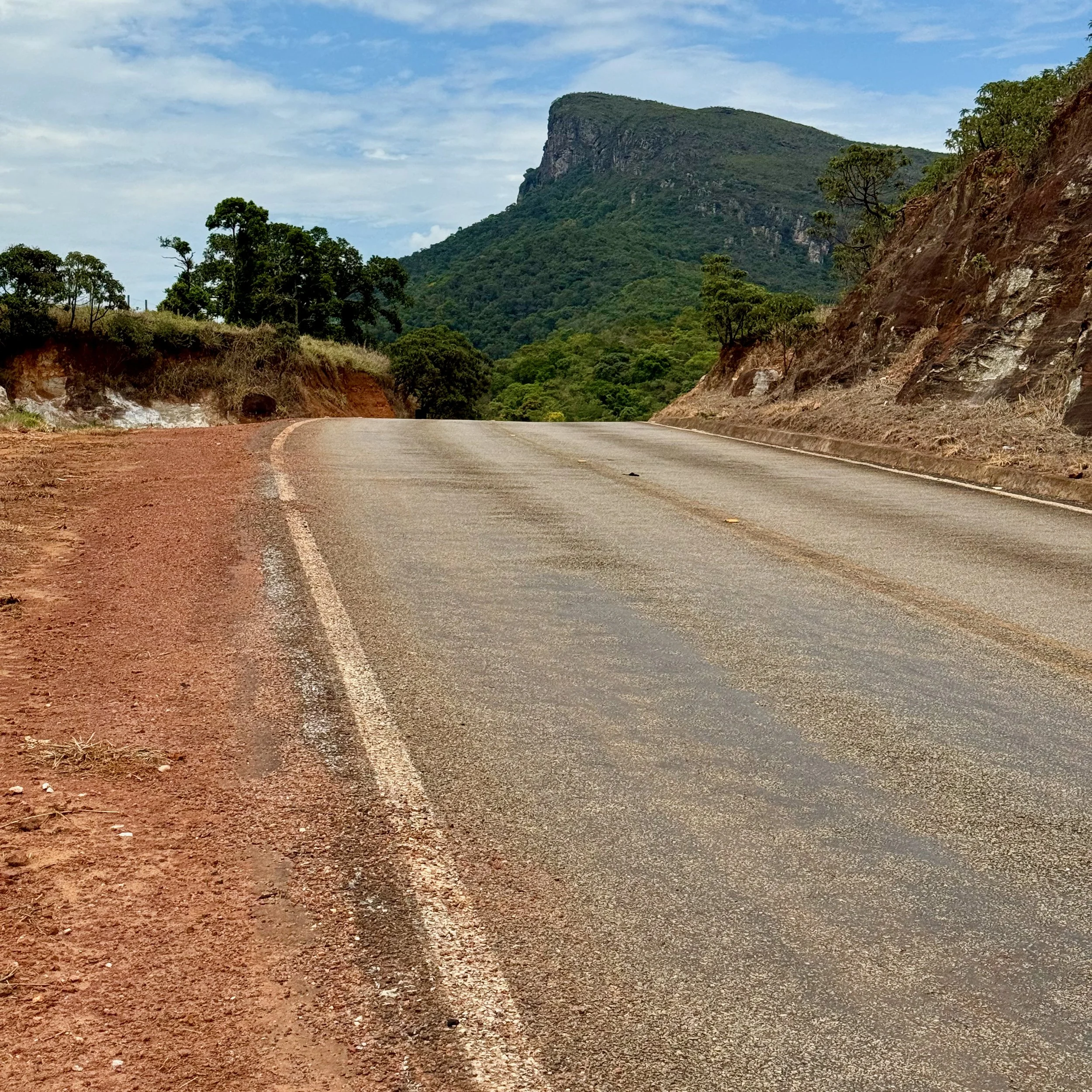
A varied mountain stage combining hard climbing with flowing valley riding. A steep departure out of Morro do Pilar leads to remote ridgelines and expansive views across the Espinhaço highlands, passing a high-point viewpoint honoring Dominguinho da Pedra, a mountain hermit who lived in the area for decades and became a regional folk figure known for his simple songs and handmade instruments. The route then drops into a gentle river valley on mellow gravel before rising again onto open high ground and finishing with a fast, scenic descent into Itambé do Mato Dentro—literally “deep in the forest,” a name reflecting the historic character and enduring spirit of the landscape.
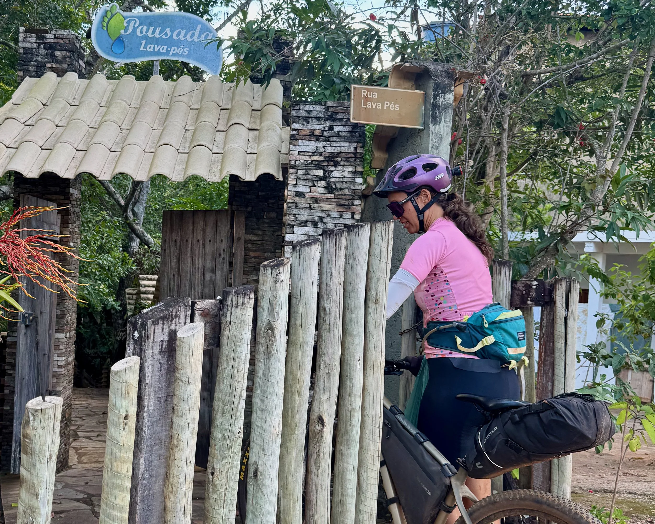
Arrival at a typical pousada along the Diamond Road
Stage 7 · Itambé do Mato Dentro → Ipoema
33.6 km | 736 m | 🔺🔺🔺 | Gravel/Dirt
A shorter stage that invites a slower pace. Early steep pitches reward riders with sweeping views of the Espinhaço highlands before the route settles into red dirt roads, pastureland, and forested sections where birdsong and rural quiet dominate. Frequent changes in gradient keep the riding interesting, while Ipoema offers a calm, welcoming finish.
Stage 8 · Ipoema → Cocais
39.6 km | 871 m | 🔺🔺🔺 | Gravel/Dirt
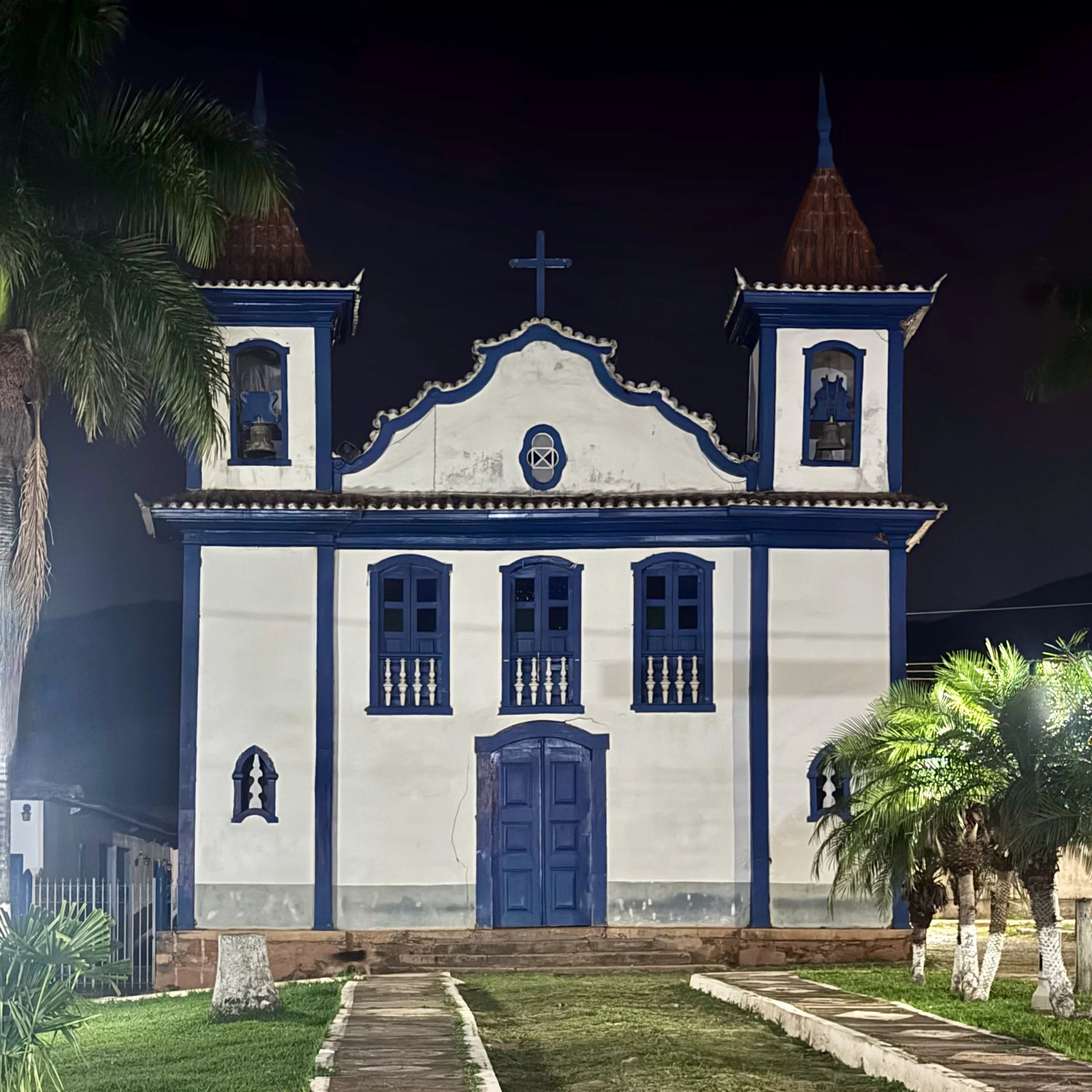
A rolling highland stage climbing steadily out of Ipoema before traversing quiet dirt roads through rural landscapes and pockets of forest. Sections pass through eucalyptus plantations used for pulp production, where the riding is smooth and fast but notably quieter, before returning to more diverse countryside. Sustained efforts are paired with fast gravel descents as the terrain undulates toward Cocais, a small historic village centered around its hilltop churches and colonial-era core.
Stage 9 · Cocais → Santuário do Caraça
46.1 km | 1,419 m | 🔺🔺🔺🔺🔺 | Gravel/Dirt
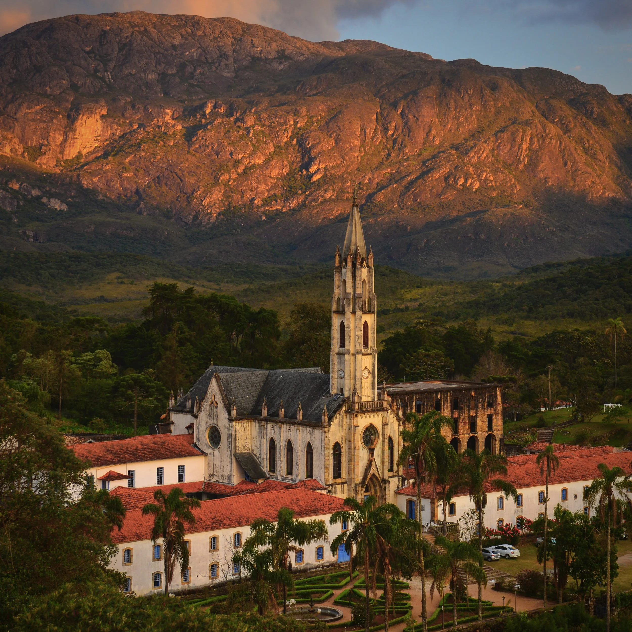
A mountain stage defined by long, steady climbing into the Serra do Caraça, a dramatic subrange of the Espinhaço mountains. Leaving Cocais, gravel ascents and expansive views unfold as elevation gains accumulate and the landscape becomes increasingly dramatic. The final approach into the Caraça sanctuary is sustained and demanding, rewarding riders with arrival at a historic monastery and nature reserve known for its preserved architecture, forested setting, and occasional sightings of the maned wolf.
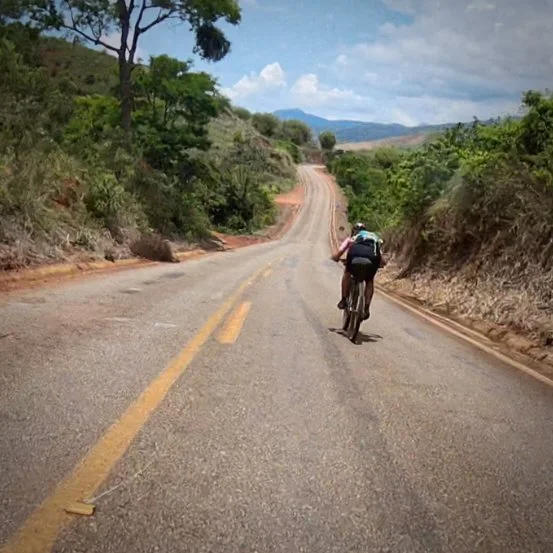
Stage 10 · Santuário do Caraça → Catas Altas
31.5 km | 560 m | 🔺🔺 | Gravel/Dirt
A recovery day after the intensity of the Caraça climb. The route descends from the sanctuary through protected forest before transitioning onto rolling gravel and quiet roads beneath the dramatic peaks of the Serra do Caraça. With moderate climbing and flowing terrain, the effort is steady rather than demanding. Arrival in Catas Altas pairs colonial architecture and mountain backdrops with refreshing beverages at the town’s microbrewery.
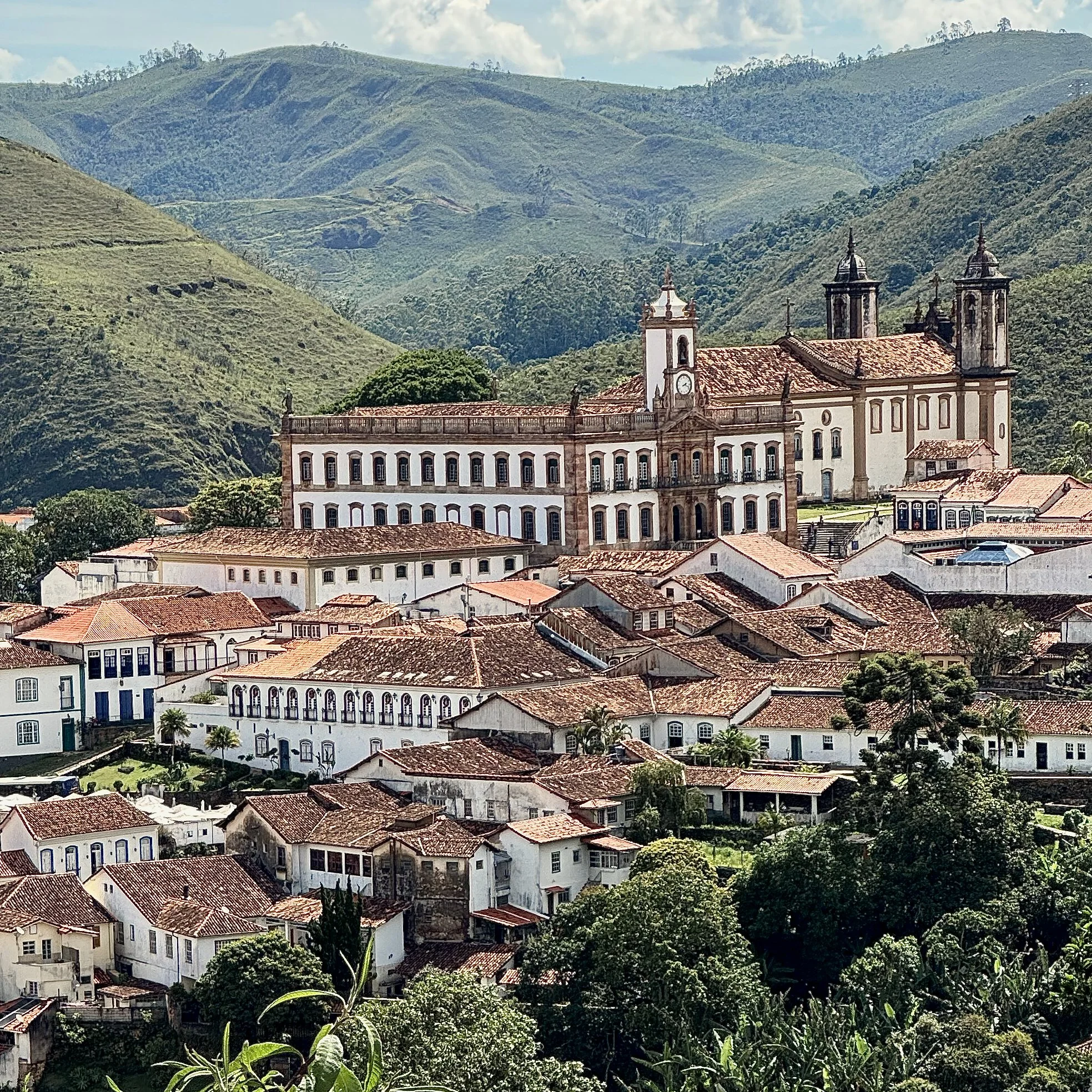
Stage 11 · Catas Altas → Ouro Preto
63.4 km | 1,327 m | 🔺🔺🔺🔺 | Mixed
A substantial final stage linking two of Minas Gerais’ most important colonial towns. The route rolls out of Catas Altas on gravel and dirt before threading through active and historic mining landscapes, including areas affected by the 2015 tailings-dam disaster that buried the village of Bento Rodrigues, now largely abandoned—a stark reminder of the region’s environmental cost. The ride passes through Mariana, the oldest city in Minas Gerais, before a sustained final ascent delivers riders into Ouro Preto, Brazil’s best-preserved baroque city, where a short detour reveals the iconic “twin churches” and a fittingly historic finish to the Diamond Road.
Walking through the streets of Diamantina
Interested in riding the Diamond Road?
The 2026 expedition is limited to seven riders.